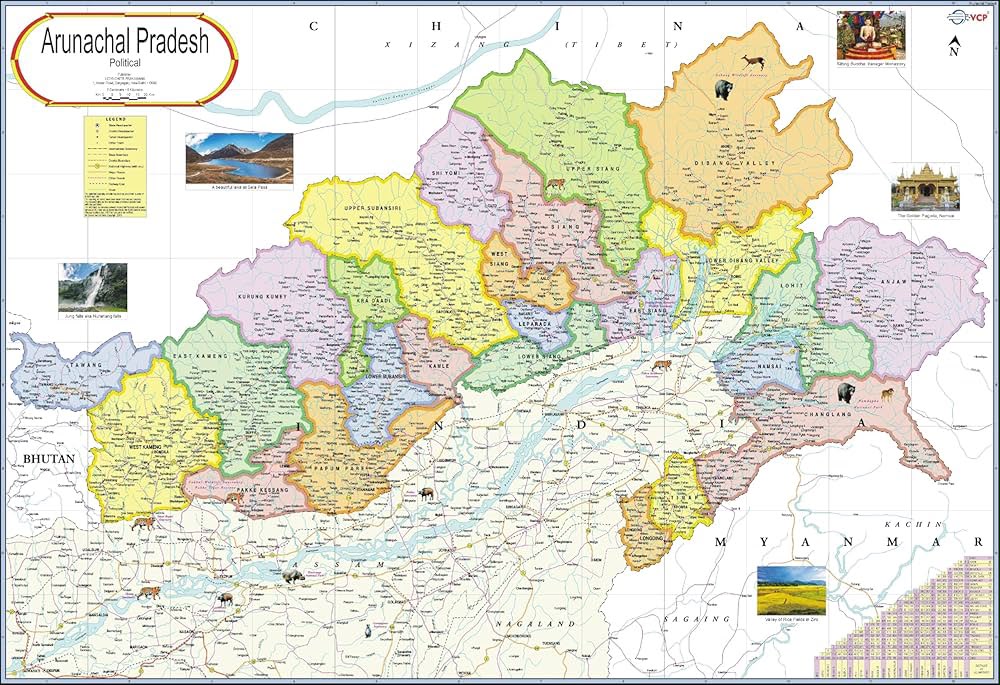
Itanagar: India has formally assigned standard names to 27 places and geographical features in Arunachal Pradesh, bringing them into the country’s official cartographic records in a move that reinforces the government’s position on the state’s territorial and administrative identity.
The Ministry of Home Affairs said the exercise was undertaken in consultation with the Arunachal Pradesh government. The newly designated names have been incorporated into the official maps of the Survey of India, giving the identified locations a uniform reference across government maps, administrative records and other official documents.
The development comes amid repeated attempts by China to assign its own names to locations in Arunachal Pradesh, which Beijing refers to as “South Tibet”. India has consistently rejected such moves, maintaining that Arunachal Pradesh is an integral and inseparable part of the country and that unilateral changes in nomenclature do not alter the ground situation or India’s sovereignty.
The 27 locations covered by the latest exercise include settlements, mountain passes, water bodies and memorials. The settlements and localities include Longju, Maja, Bisa, Bara Kundun, Chhota Kundun, Dhan Bari, Pritnagar, Buddhmandir, Jairampur, Tertinagar, Ramnagar, Jaswant Garh, Sagar, Padma, Jyotinagar, Baisakhi, Chhota Ropuk, Bara Ropuk, Shivaji Nagar, Sunpura and Kamlang Nagar.
The notified geographical features include the strategically located mountain passes of Dzo La, Riza La, Pukur La and Thag La. Sambho Sarovar, a lake, and the Sher-e-Thapa Memorial, associated with India’s military history in the region, are also among the locations covered.
According to the MHA, standardising geographical names is intended to remove ambiguities in official references and ensure consistency across maps and government records. The exercise is also expected to support administrative coordination, infrastructure planning, disaster management and public service delivery by providing government agencies with a common geographical reference.
The ministry said the process follows established procedures for geographical nomenclature and forms part of efforts to maintain accurate and authoritative national cartographic records. By assigning standard names in consultation with the state government, official maps, gazetteers and administrative documents can reflect uniform and legally recognised nomenclature.
The updated Survey of India maps will serve as an authoritative reference for governance, planning and public use, while the formal mapping process will also preserve locally recognised place names.
India has repeatedly maintained that attempts by other countries to rename places within Arunachal Pradesh have no legal validity and do not affect its territorial claims. The latest exercise therefore combines an administrative mapping process with a clear reaffirmation of India’s position on Arunachal Pradesh.
BI Bureau